24 Jul Memorabilia: Road maps
This month, FMM assistant curator Cheslynne Ruiters finds his way around the origins of road maps….
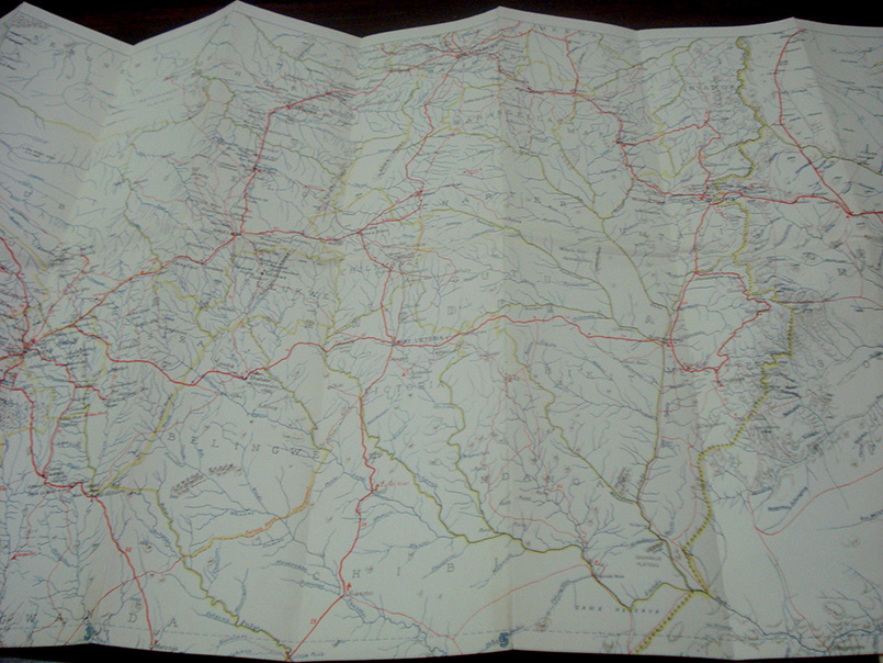
People have created and used maps to help them define, explain, and navigate their way through the world. Earliest archaeological maps range from cave paintings to ancient maps of Babylon, Greece, China and India. They began as two-dimensional drawings and for some time, at least in Europe the Earth was thought to be flat. A road or route map is a diagram that primarily displays roads and transport links rather than natural geographical information. Road maps commonly include an index of cities and other destinations found on the map, while smaller-scale maps often include indices of streets and other routes.
The invention of the bicycle and the new-found personal mobility it provided created a need for better roads and, as a result, better maps. The automobile soon followed, and the maps were overprinted with a contrasting colour to indicate roads appropriate for the car. In 1904, map maker Rand McNally printed its first automobile road map, New Automobile Road Map of New York City & Vicinity. By 1910, the Ford Model T had created a significant demand for maps, and guides such as the Mendenall Guide and Road Map of Connecticut began to appear. This map shows main routes, good roads, common roads and railroads. Maps in America at the turn of the century were primarily geopolitical; mountains, rivers, major cities and political boundaries were far more significant to cartographers than the parallel ruts in the dirt that connected village to village.
In France, some of the first road maps were published by tyre-manufacturer Michelin, and were often paired with guide books, which provided travel advice and also recommended hotels and places to eat. If the location of a business was mentioned it could mean more customers, particularly if it had favourable reviews. While these guide books were essential, they were soon joined by something new, the oil company paper road map. The first ones are attributed to Gulf Oil, which was formed by Pittsburgh’s Mellon family in 1901 to exploit Texas oil discoveries. In 1913, Gulf opened the first drive-in service station in Pittsburgh’s east end and began handing out free road maps. Roads drawn with thicker lines and brighter colours indicated faster routes and, as such, people were more likely to travel on these roads.
Today, though, things are a lot different, thanks to Smartphone apps such as Scout or Google Maps, or in-dash GPS navigation systems.